Lake Lucerne is a lake defined by movement. Its waters widen and narrow, arms reaching deep into the landscape, while a new scene unfolds behind every bend. At times it feels open and calm, at others almost hidden between steep slopes. Light and weather continuously reshape its character – and this constant change is what gives the lake its distinctive presence. Exploring Lake Lucerne is not about a single place, but about moving through a sequence of spaces.
Key Facts
- Location: Central Switzerland
- Cantons: Lucerne, Uri, Schwyz, Obwalden, Nidwalden
- Surface area: approx. 114 km²
- Length: approx. 38 km
- Maximum depth: approx. 214 m
- Elevation: approx. 434 m above sea level
The Lake in Its Setting
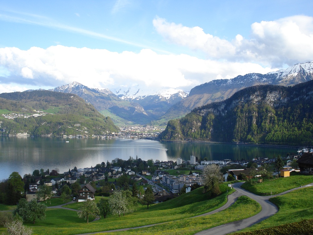
Lake Lucerne forms a natural link between the Swiss Plateau and the Alpine region. In the north, it opens gently near the city of Lucerne; to the south, it branches into narrow, fjord-like arms reaching towards Uri and Obwalden.
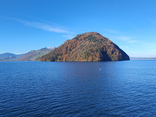
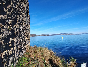
This unusual shape gives the lake its remarkable diversity: open shores alternate with steep rock faces, wide expanses of water, and sheltered bays. Few lakes in Switzerland change their character so distinctly from one section to the next.
Towns and Villages Along the Shore
The settlements around Lake Lucerne reflect this diversity.
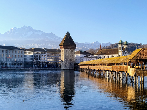
Lucerne serves as the urban gateway to the lake, combining culture, history, and international appeal.
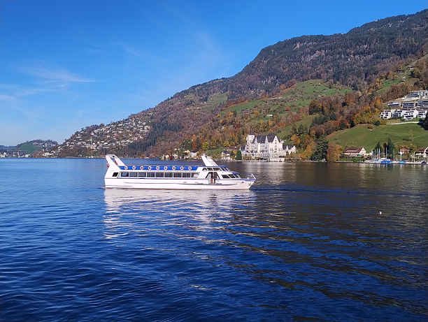
Weggis and Vitznau lie on the sun-exposed side, with broad views towards Mount Rigi.
Brunnen marks the transition to the inner lake arms and holds strong historical significance.
Flüelen forms the southern end of the lake, where water and the Alpine landscape meet directly.
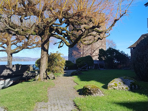
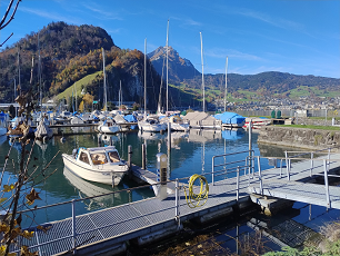
Stansstad and Hergiswil represent quieter stretches of shoreline, closely connected to both lake and mountains.
Nature and Mountains
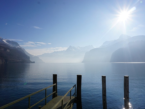
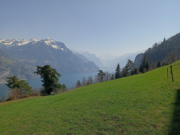
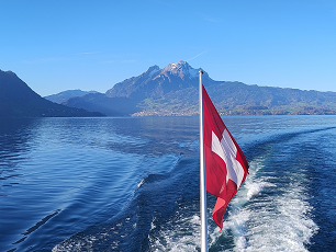
Lake Lucerne is closely tied to its surrounding mountains. Mount Rigi rises above the water as a classic viewpoint, while Mount Pilatus with its steep flanks shapes the Lucerne basin. In the southern arms of the lake, the Alps move closer: steep slopes, narrow valleys, and a distinctly alpine sense of enclosure dominate the scenery. This close interaction between water and mountains creates striking light conditions and frequent changes in weather.
History and Culture
Key chapters of Swiss history are closely associated with Lake Lucerne. Places such as the Rütli Meadow or Brunnen are symbolic of early political alliances. At the same time, the lake became a travel destination early on: steamship services, mountain railways, and grand hotels shaped tourism in the 19th century, leaving traces that remain visible today.
Experiences
Lake Lucerne reveals itself best through movement.
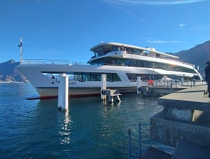
Boat travel offers a natural way to connect landscapes and towns.
Hiking routes lead from the shoreline into higher ground, constantly opening new perspectives.
For swimming and relaxation, smaller bays are just as inviting as public lidos.
For photography, the lake is particularly rewarding during fog, föhn conditions, and the transitional seasons.
Access and Connectivity
- Zurich Airport → Lucerne: approx. 1 hour (train)
- Basel → Lucerne: approx. 1 hour 15 min (train)
- Geneva → Lucerne: approx. 2 hours 45 min (train)
- Munich → Lucerne: approx. 4 hours (train or car)
Many lakeside towns are directly accessible by train, bus or boat.
Practical Notes
- Best time to visit: May to October
- Special features: Rapid weather changes; föhn winds can strongly influence light and water colour
- Character: Multifaceted – best explored over several days
- Munich → Lucerne: approx. 4 hours (train or car)
